WorldStrides Updates
Earth Selfies: A Look at Mother Earth from Space
This May, I was able to attend the launch of the Geostationary Operational Environmental Satellite-S (GOES-S), and I got hooked on “earth selfies” – more formally known (by, you know, scientists) as weather imaging.
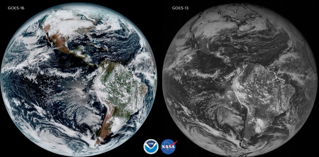
The GOES-S satellite is the second of a series of 4 geostationary weather satellites operated by the NASA and the National Oceanic and Atmospheric Administration (NOAA), designed to drastically increase the detection and observation of our earth. In the world of weather, this is a big upgrade – think the difference between taking a selfie on an iPhone 3 vs. an iPhone 10. Yep – drastic! The first of the satellite series is called GOES-16 (originally GOES-R renamed to GOES-16 once it reached its geostationary orbit) and it scans the planet five times faster than the GOES-13. The proof is in the picture.

To the untrained eye, we see a much crisper, clearer and more beautiful picture. But that’s not all. The clearer images will provide a better forecast, and benefit us all.
The launch
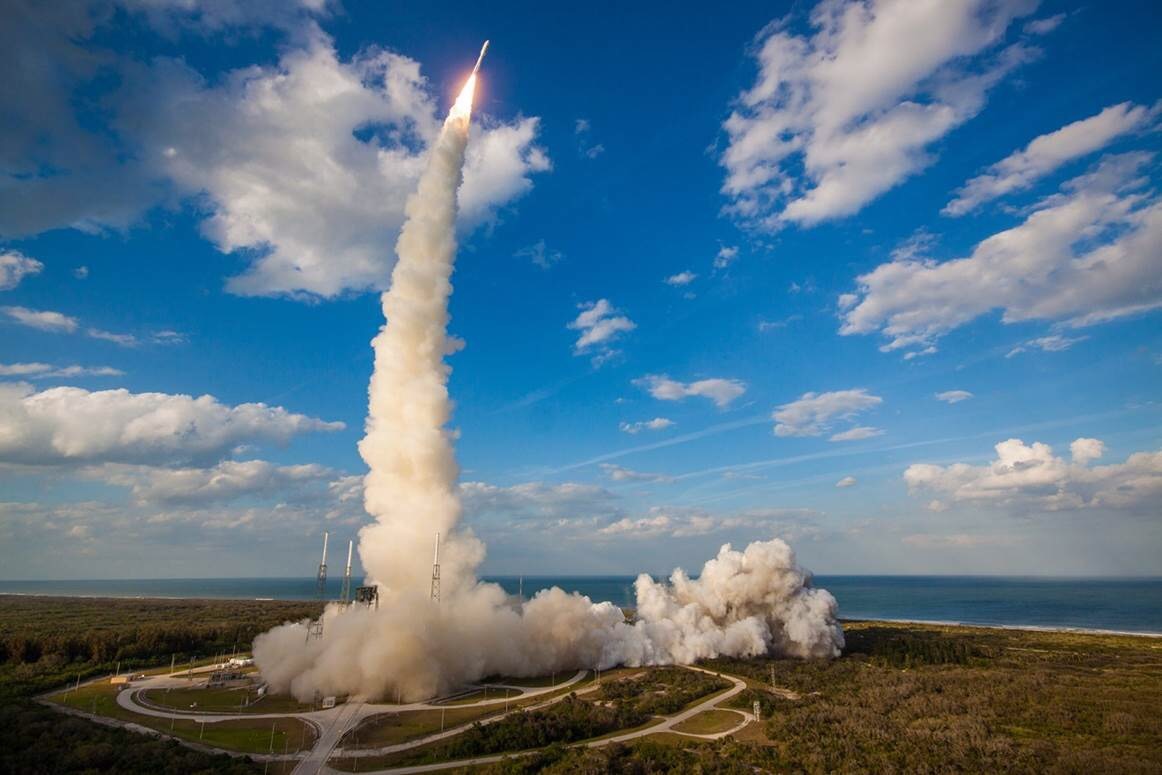
On March 1, 2018, the second satellite in the GOES series, GOES-S launched from Cape Canaveral. The launch took off without a hitch and observers watched as the rocket tore through the Florida sky. I was lucky enough to attend the launch of this revolutionary satellite because my father has been working on GOES-R. The satellite, now called GOES-17 since it reached its geostationary orbit, sent back its first transmission on April 12, 2018. Engineers like my dad compare the receiving of these first transmissions to seeing a newborn babies first photos. It is really remarkable. Over the next few months, GOES-17 will endure a calibration of its instruments and systems and then start sending back photos like its big sister GOES-16. GOES-17 will provide imaging of the western hemisphere, where big sis is responsible from the east.
Photo Credit: United Launch Alliance
So, what does this mean to you?
The advancement in the ability to transmit data at such a faster rate means better forecasting, and prediction of weather. Imagine being able to determine a hurricane’s path, or predict a tornado outbreak before it happens. Below is a list of some of the ways that GOES Series will improve our forecasting:
- Improved hurricane track and intensity forecasts
- Increased thunderstorm and tornado warning lead time
- Earlier warning of lightning ground strike hazards
- Better detection of heavy rainfall and flash flood risks
- Better monitoring of smoke and dust and volcanic ash that affects air traffic
- Improved air quality warnings and alerts
- Better fire detection and intensity estimation
- Improved detection of low cloud/fog
- Improved transportation safety and aviation route planning
- Improved warning for communications and navigation disruptions and power blackouts
- More accurate monitoring of energetic particles responsible for radiation hazards
(Source: https://www.goes-r.gov/mission/mission.html)
The satellite is truly remarkable- and I’m excited for some more beautiful “earth selfies.”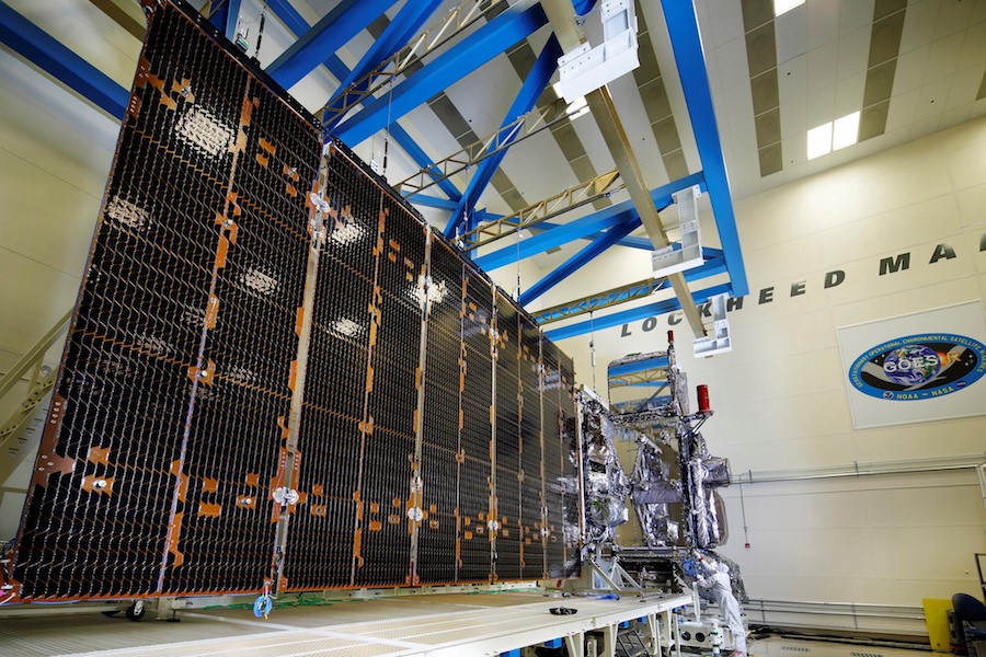
Lauren Perpetua is a Marketing Manager at WorldStrides and the proud daughter of Laird Kantruss.
Related Articles

The 2024 WorldStrides Student Photo & Video Contest Gallery
This May, I was able to attend the launch of the Geostationary Operational Environmental Satellite-S (GOES-S), and I got hooked on “earth selfies” – more formally known (by, you know, scientists...

Girl Scouts: Costa Rica Tour
This May, I was able to attend the launch of the Geostationary Operational Environmental Satellite-S (GOES-S), and I got hooked on “earth selfies” – more formally known (by, you know, scientists...

2024 Mérida Pride Parade
This May, I was able to attend the launch of the Geostationary Operational Environmental Satellite-S (GOES-S), and I got hooked on “earth selfies” – more formally known (by, you know, scientists...

Rise Up, Take Action: How to Support the LGBTQIA+ Community
This May, I was able to attend the launch of the Geostationary Operational Environmental Satellite-S (GOES-S), and I got hooked on “earth selfies” – more formally known (by, you know, scientists...

